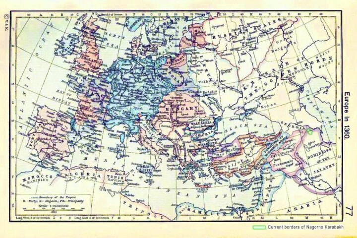
Historical maps showing the borders of present-day Nagorno Karabakh region during ancient times (500BC-90BC).
Karabakh as a part of Persian Empire 500 BC
Historical Map of the Persian Empire about 500 B.C. Illustrating boundaries of satrapies under Darius I the Great, Royal Highway.
University of Texas at Austin. Historical Atlas by William Shepherd (1923-26).
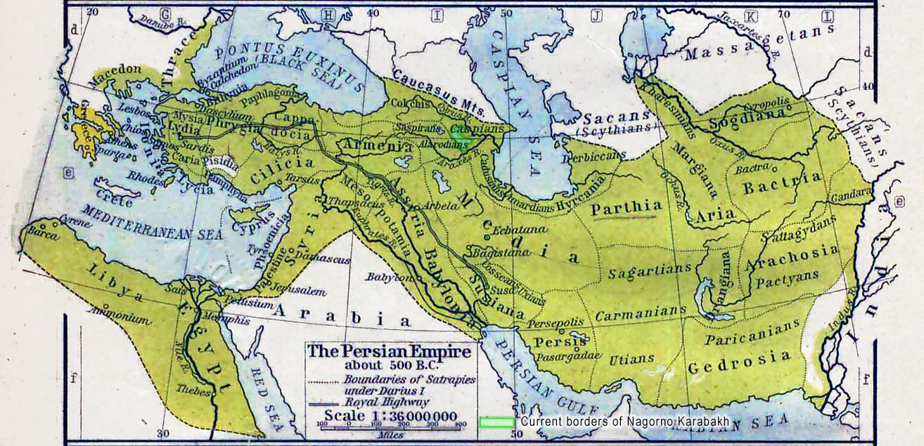
Karabakh as a part of Persian Empire 500 BC
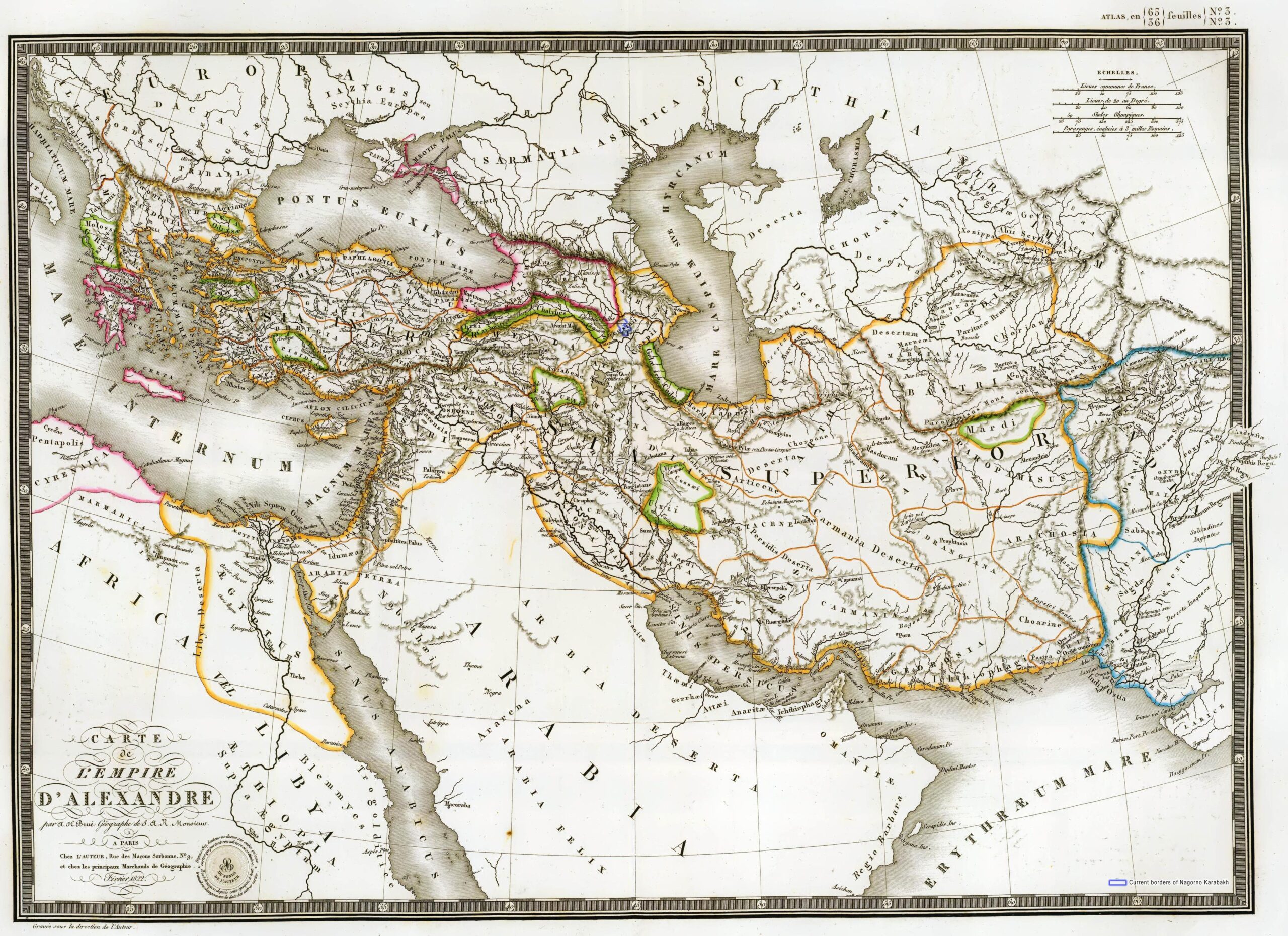
Karabakh during Macedonian Empire 336-323 BC
Historical map of the Macedonian Empire during 336-323 BC. Boundaries of the satrapies formed at the partition after the death of Alexander in 323 BC.
University of Texas at Austin. Historical Atlas by William Shepherd (1911).
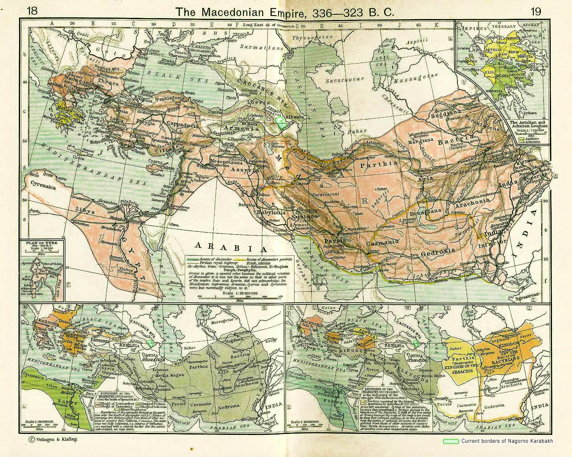
Karabakh during Macedonian Empire 336-323 BC
Karabakh as a part of Caucasian Albania during Macedonian Empire 336-323 BC
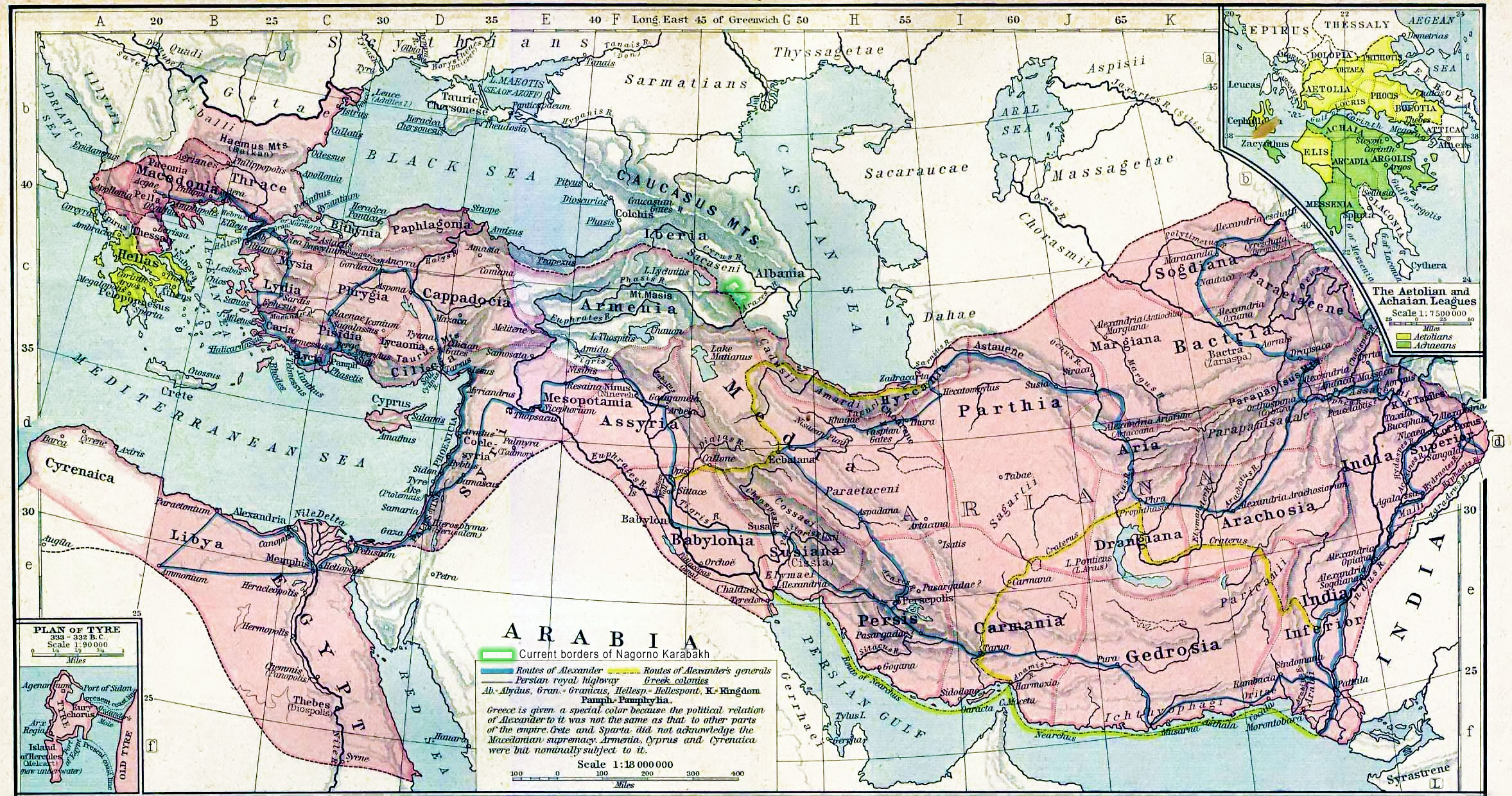
Karabakh during Macedonian Empire 200 BC
Historical map of the Macedonian Empire at the beginning of the struggle with Rome about 200 BC.
University of Texas at Austin. Historical Atlas by William Shepherd (1911).
Karabakh during Macedonian Empire 200 BC
Karabakh in the map of Asia Minor 280-160 BC
Karabakh during the growth of Roman Empire in Asia Minor 280-160 BC
Historical maps of the growth of Roman power in Asia Minor. University of Texas at Austin. Historical Atlas by William Shepherd (1923-26).

Karabakh and the map of Asia Minor 280-160 BC
Karabakh in the map of Asia Minor 90 BC
History maps of the growth of Roman power in Asia Minor. University of Texas at Austin. Historical Atlas by William Shepherd (1923-26).
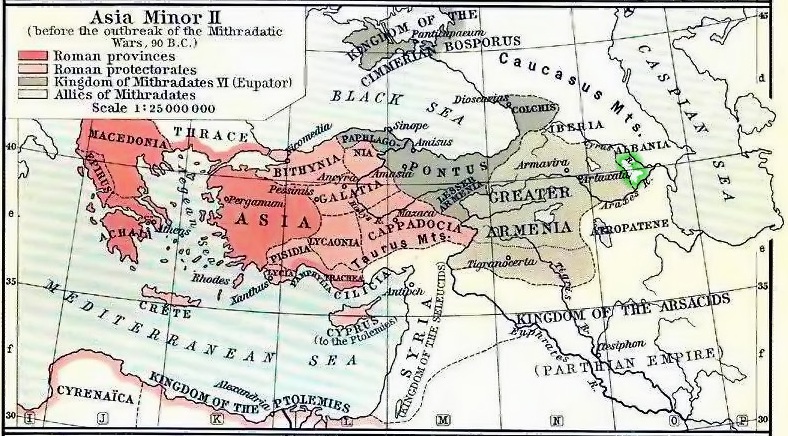
Karabakh and the map of Asia Minor 90 BC