Historical maps showing the borders of present-day Nagorno Karabakh region within different states during the medieval period (5th-11th centuries).
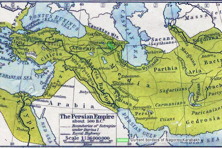
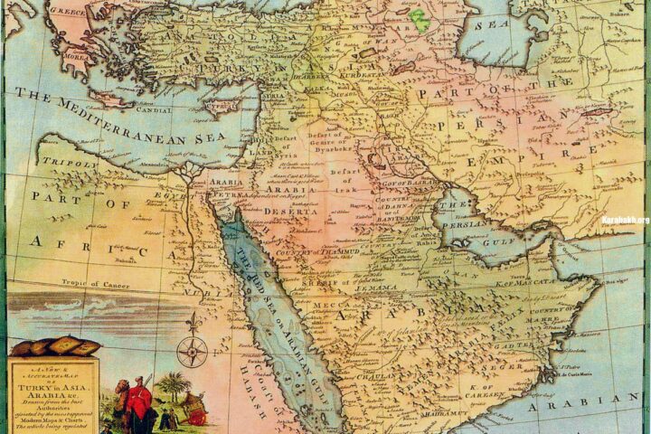
Karabakh as a part of Caucasian Albania
Karabakh during the expansion of the Sassanid Empire, 5th century.
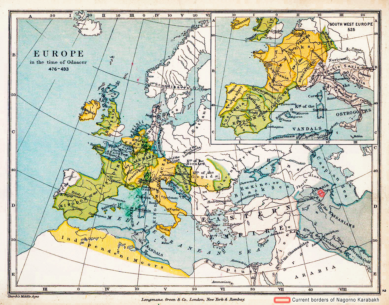
Historical Map of Europe in the time of Odoacer, 476 – 493.
Inset: South-Western Europe in 525.
University of Texas at Austin. From the Public Schools Historical Atlas by C. Colbeck, 1905.
Karabakh as a part of Caucasian Albania during the expansion of the Sassanid Empire, 5th century.
Karabakh under Arran region of Abbasid Caliphate
Karabakh as a part of Arran province of Abbasid Caliphate, 7th-9th centuries.
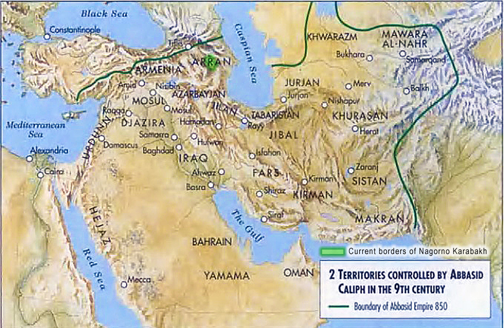
Karabakh as a part of Arran province of Abbasid Caliphate, 7th-9th centuries.
Karabakh between Seljuk Turks and Khazars
Karabakh under dominion of two Turkic states: Seljuks and Khazars. 11th century.
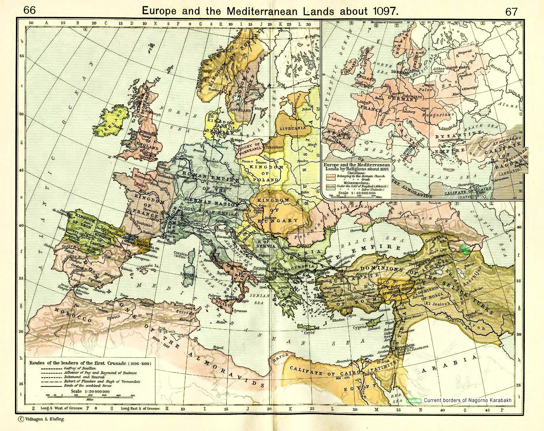
Historical Map of Europe and the Mediterranean Lands about 1097.
University of Texas at Austin. Historical Atlas by William Shepherd (1923-26)
Karabakh under dominion of two Turkic states: Seljuks and Khazars. 11th century.
Karabakh and the political map of Europe in 1097
Historical Map of Europe and the Mediterranean Lands about 1097
Illustrating related states: Seljuk Turks and Khazars
University of Texas at Austin. Historical Atlas by William Shepherd (1923-26)
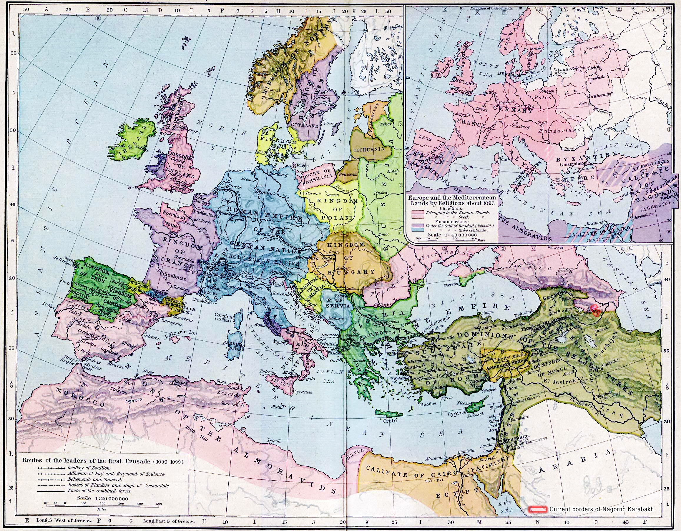
Karabakh and the political map of Europe in 1097